The map of Bruges by Marcus Gerards (1562)
In 1562 Marcus Gerards finished a great picture of Bruges, drawn street by street and house by house. It shows the whole town as it stood, and Bruges 1562 takes its year from it.
What the map is
In 1561 the town council of Bruges commissioned Marcus Gerards to draw the city. His plan is dated 1562: one large picture of the whole town inside its walls, seen from above. The contract asked for 40 impressions, six of them coloured by hand. The council wanted it to show a town still open to the sea, with the new canal, the Verse Vaart, and asked for the way to the sea drawn short and the waterways wide.
It is a bird’s-eye view. You look down on the town at an angle, as from a high point above it, and you see every street, every canal and almost every house with its front, its gable and its roof. Churches, halls, gates and bridges stand up in their own shapes, so you can recognise them one by one. That is its strength. Its weakness is the same: a picture bends the town to fit the sheet, so distances and sizes on it are not exact. It is not a measured plan.
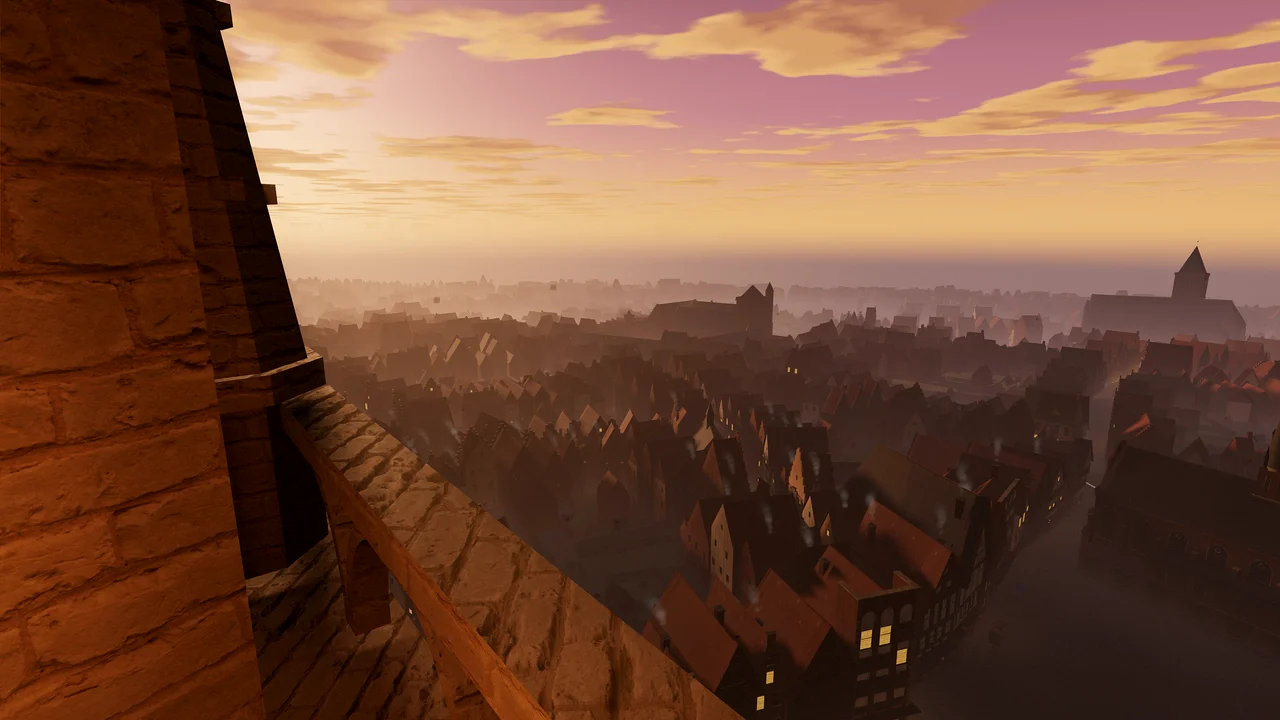
What you can find on it
- The ring of the town, with its double moat, its nine gates, numbered on the map, and the roads that leave them for the towns round about.
- The Markt as an open field, with a well by the south-west end of the Waterhalle, the great hall that stood across the east side of the square.
- Deep houses with their gables to the square on the north and west sides of the Markt.
- The Sint-Kristoffelkapel on the Markt: a long Gothic chapel with a slender turret and a tall spire, bulging out into the square.
- The cathedral of Sint-Donaas on the Burg, seen from the north-west: its west gable with a tall window, and the canons’ cloister against the north side of the nave.
- The Kraanrei running open from the three-arched bridge on the Kraanplein, with warehouses along it and a covered barge at the quay.
- Low houses of one storey in the side lanes and towards the ramparts, up to the Ezelpoort.
- The arms of Flanders and of Bruges, drawn on the map itself.
Not every print is from 1562
Musea Brugge keeps a hand-coloured impression of the time. Many scans of the map online come from a later edition: its key is in French and Dutch, and its lettering gives later names and uses. On it the Braamberg is marked as the fish market, which it only became in 1745, and the Markt is called the corn market. The drawn forms agree between the early print and the later one, so the drawing can be trusted. Names and numbers should be checked against the early impression. The colours were added by hand and say nothing certain about the colours of 1562.
How Bruges 1562 uses the map
The year was chosen because of this map: 1562 is the year Gerards finished it. In the reconstruction the map is the judge of what stood. When written sources disagree on whether a building existed in 1562, or on what it looked like, Gerards decides.
Gerards gives the forms. The positions come from measured plans. Most of the street plan of the old town has not moved since the sixteenth century, so today’s survey is the base, with heights from the laser survey of Flanders. Where a street did change, its line of the 1560s is taken from the measured plan of Jacob van Deventer, made about 1560 and fitted to today’s map. Gerards then tells which rows were closed, how deep the houses ran, which gables faced the street, where a tower or a turret stood, and which bridges and quays there were.
A few examples from the ledger of sources:
- Nothing of the Augustinian friary stands above ground. Its exact plan is reconstructed from Gerards’ map.
- The house of the Easterlings: Gerards puts the tower at the east end, a later engraving behind the west half of the front. Gerards is followed.
- The back ranges of Het Steen, the town prison on the Burg, rise straight from the Reie, as Gerards draws them.
- On the Sint-Jansbrug Gerards hides the arches but shows two small Gothic tabernacles on the parapet.
- The Gruuthuse already owes its stair tower to Gerards: it was rebuilt after his map during the restoration of 1883–95.
- For the spire of the Belfort, Gerards suggests an ogee lantern, while other views show a slate pyramid with dormers. The pyramid is built, and the ledger records the doubt.
What the map cannot give is size. A picture gives a building’s form, never its measurements. Those come from what still stands, from the laser heights, from excavation plans and from building accounts. Ordinary houses are drawn from house types of the period on their real plots, with the depth and the gable direction that Gerards shows for their row.
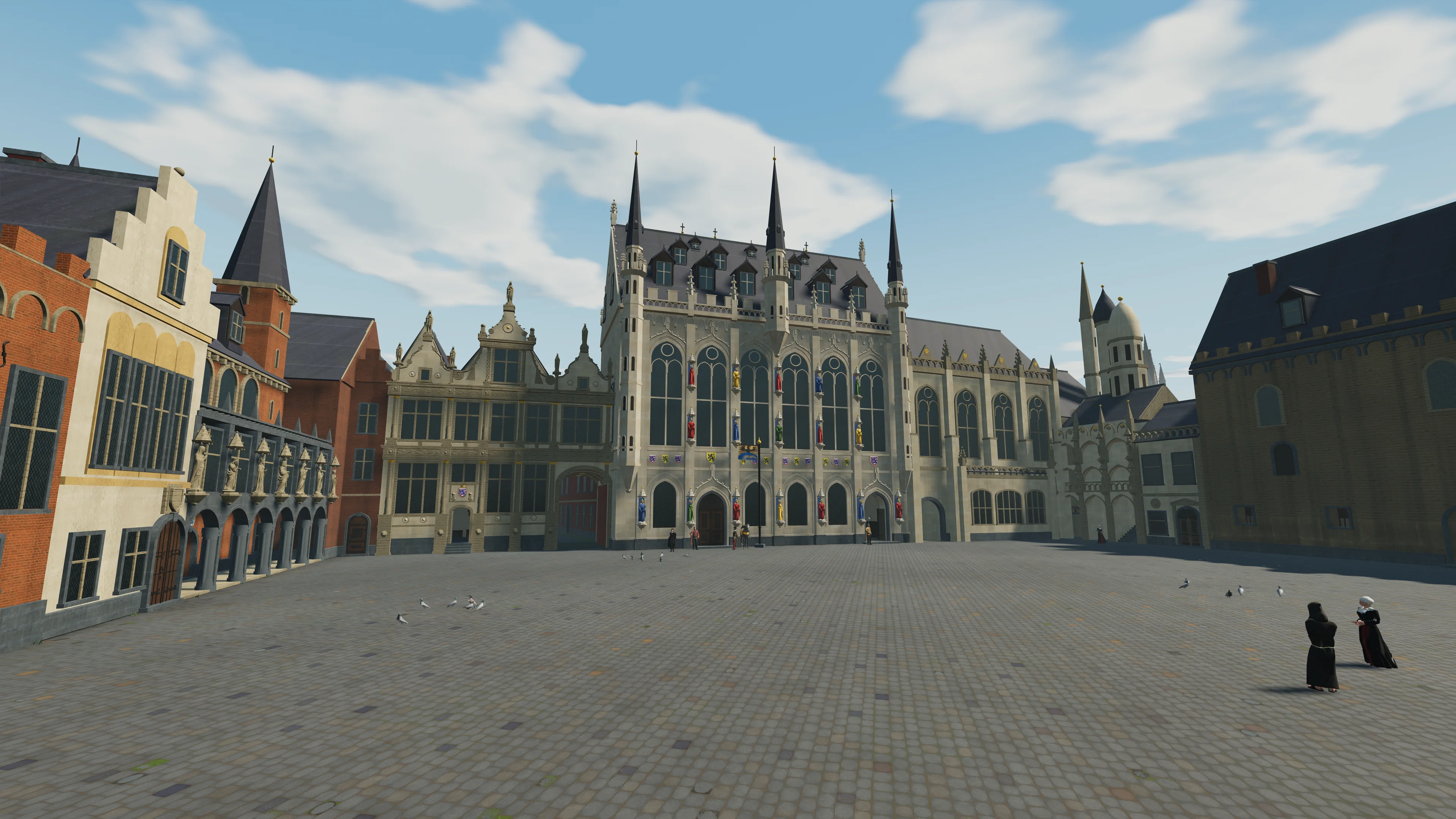
Some buildings on the map are gone today. Sint-Donaas, the Waterhalle and the Sint-Kristoffelkapel are among them. They are on the page of lost buildings of Bruges. The method as a whole is on the page about the reconstruction, and the town’s story in dates is on the timeline.
Walk the town Gerards drew
In Bruges 1562 you walk through the town of the map at eye height, in 3D, in your browser. Open now is the heart of the town inside the first city wall, with its landmarks, each with a history card. It is free. You need a computer with Chrome or Edge. Join the waiting list to get in.
Questions
Who was Marcus Gerards?
He is the man the Bruges town council commissioned in 1561 to draw the city. His plan of Bruges is dated 1562 and shows the whole town inside its walls.
Where can I see the old map of Bruges from 1562?
Musea Brugge keeps a hand-coloured impression of the time. Scans of the map, which is in the public domain, are on Wikimedia Commons; many of them come from a later edition with later names.
Is the map of Marcus Gerards accurate?
In what it shows, yes: which houses, churches, bridges and quays stood, and how they looked. In distances and sizes, no: it is a bird’s-eye picture, not a measured plan.
Why is Bruges 1562 set in the year 1562?
Because Gerards finished his plan that year, so the town of 1562 can be seen almost house by house. More on the town in that year is on the page Bruges in 1562.